Multi-port itinerary planning
Build day-by-day plans across every stop, with timing checks and quick refresh notes for long itineraries.
TriVoyage Digital
Organize your itinerary by port, find nearby travel businesses, compare alternate excursions, and check practical signals like water temperature and wave height before you step ashore.
Trip planning toolkit
TriVoyage Digital keeps long-cruise travelers organized with quick-scanning signals, reliable planning notes, and smart alternatives when ports change.
Build day-by-day plans across every stop, with timing checks and quick refresh notes for long itineraries.
Find vetted local guides, transport, and shore-side services close to the pier so you can plan with confidence.
Compare cruise-line options with independent alternatives and backup ideas before you dock.
Review port-specific tips, safety notes, and timing reminders designed for longer cruise cycles.
Track water temperature, wave height, and shore access notes to make smarter shore-day calls.
Port-day preparation
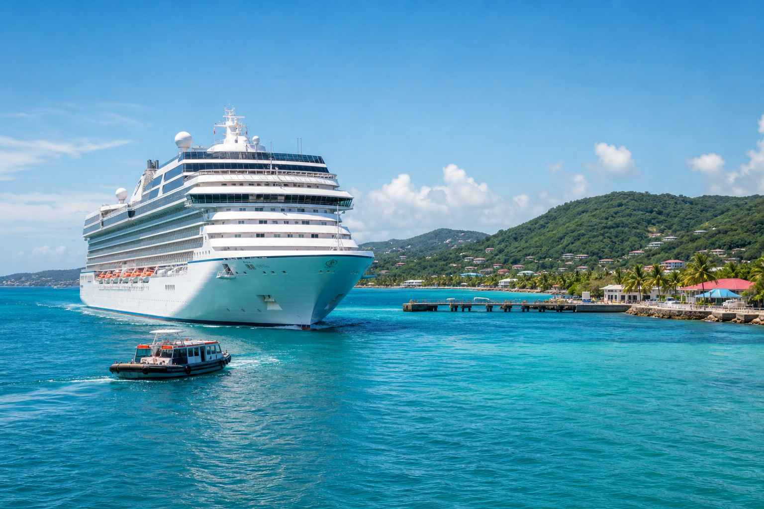
TriVoyage Digital organizes everything you need for a smoother port day on 7+ day itinerariesnearby highlights, excursion choices, backup options, and timing signalsso you step off the ship ready.
We surface walkable districts, transit options, and local businesses within realistic port-day travel times. Each port summary highlights distance bands (15, 30, 60 minutes) so you can quickly match plans to your schedule.
TriVoyage Digital outlines cost, flexibility, and return-to-ship confidence so you can decide when to book through the ship and when to go independent. Clear pros and cons make it easier for mixed-experience travel groups.
Ship-led
Best for remote sites, tight timing, or priority access.
Independent
Ideal for flexibility, local dining, and shorter distances.
Weather and port logistics shift quickly. We recommend a Plan A/Plan B approach with indoor options, alternate beaches, or shorter local loops so you can pivot without losing the day.
TriVoyage Digital turns port times into actionable timelineswhen to leave the ship, when to start heading back, and how to factor in tender waits, traffic, and peak crowd hours.
VOYAGE INSIGHTS
Built for 7+ day itineraries, these numbers reflect the real planning work cruisers do to stay flexible and confident at every port.
Ports compared
Side-by-side planning views for a typical 7–14 day itinerary.
Faster shortlists
Port-day options ranked with transit time, distance, and sea-day context.
Backup options
Alternate excursions and local operators reviewed per destination.
Sea-state signals
Water temp, wave height, wind window, and rainfall previews for port days.
Sea & shore-day signals
Longer cruises span shifting climates and sea states. TriVoyage Digital helps you read the signals that change what feels comfortable on shore — and what belongs in your day bag.
Use water temperature and wave height to decide if a beach day, snorkel outing, or tender transfer will feel smooth or challenging.
Monitor quick weather shifts around islands to adjust timing for walks, markets, and open-air excursions.
Check shore-day conditions early to avoid overpacking or skipping a better-fit activity.
A calm, practical checklist for every port stop.
Sets expectations for swim comfort and gear. It also affects how long you’ll want to stay in the water.
Higher swells can impact small boat tours, snorkeling clarity, and tender comfort.
Fast-moving clouds or rain change what’s worth doing outdoors. Build in flexible choices.
Wind, humidity, and midday heat determine what to pack and how long you’ll stay off-ship.
Port-day readiness
Short, practical answers to help you plan port days confidently, stay aligned with ship timing, and adapt when conditions shift.